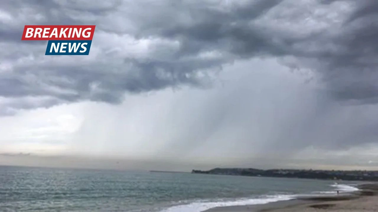
Southern California is bracing for a powerful storm that could bring life-threatening conditions during the holiday season. Authorities are urging residents to stay alert as the storm moves across the region.
Severe Weather Warnings
The storm, which is expected to bring heavy rain, flooding, and potential mudslides, is forecast to impact urban areas, particularly along major highways. According to Ariel Cohen, a meteorologist with the National Weather Service (NWS), “This storm will create hazardous conditions, and in many places, it could be life-threatening for anyone on the road.”


Though the storm has slowed down, the National Weather Service still predicts significant rainfall, with peak conditions expected between 9 a.m. and 4 p.m. Wednesday in Los Angeles County. The forecast now includes up to 6 inches of rain for coastal and valley areas, with higher totals expected in the foothills and mountains.
Rainfall and Evacuations
The storm will affect various parts of the region, especially those areas near recent wildfire burn scars. These areas are most vulnerable to debris flows and mudslides. Authorities have already issued evacuation warnings for residents in Orange and Los Angeles counties who live near burn scar zones. In L.A. County, approximately 400 properties are under evacuation orders as of Tuesday morning.
The NWS also issued a flood watch for much of Southern California, warning that rainfall could exceed one inch per hour. Winds of 35 to 55 mph are also expected, with a small possibility of a weak tornado in some areas.
Impact on Road Conditions

The storm is already causing disruptions to travel. Several major roads, including Malibu Canyon, Tuna Canyon, and Glendora Mountain roads, have been closed due to the storm’s effects. More road closures are expected as the storm progresses.
L.A. Mayor Karen Bass has advised residents to complete any necessary travel before the rain intensifies. She stressed the importance of staying off the roads when possible, as emergency responders and public works crews will be focused on maintaining road safety and clearing debris.
Storm Risks and Safety Measures
The NWS highlighted several key risks associated with this storm:
- Widespread flooding in urban areas.
- Potential debris flows outside of burn scar zones.
- Strong winds and downed trees that may cause power outages.

Officials urge the public to take the storm seriously, especially given that this type of weather event occurs only once every five to ten years in the area.
Tips for Staying Safe
To ensure safety during the storm, the National Weather Service has provided several recommendations:
- Driving Tips in the Rain:
- Always check the weather and road conditions before traveling.
- Drive slowly and maintain a safe distance from other vehicles.
- Avoid driving through standing water, as even a small amount can carry away most vehicles.
- Keep your tires properly inflated and ensure your windshield wipers are working.
- Handling Wind and Power Outages:
- Stay alert for downed power lines. If you are in a vehicle with a downed power line, stay inside and call 911.
- Use battery-operated flashlights during power outages, and avoid using candles to reduce fire risk.
- If you’re using a generator, always place it outside and plug appliances directly into it to prevent dangerous backfeeding.
- Evacuations and Alerts:
- Sign up for emergency alerts to stay informed about any changes to evacuation orders or other important updates.
- Familiarize yourself with evacuation routes and emergency services contact numbers in your area.
As Southern California braces for the heavy storm, residents are urged to prepare for potential flooding, mudslides, and power outages. Officials recommend avoiding travel, securing homes, and staying updated on evacuation orders. With this storm expected to be one of the most severe in years, taking proactive safety measures will be essential for staying safe throughout the holiday season.